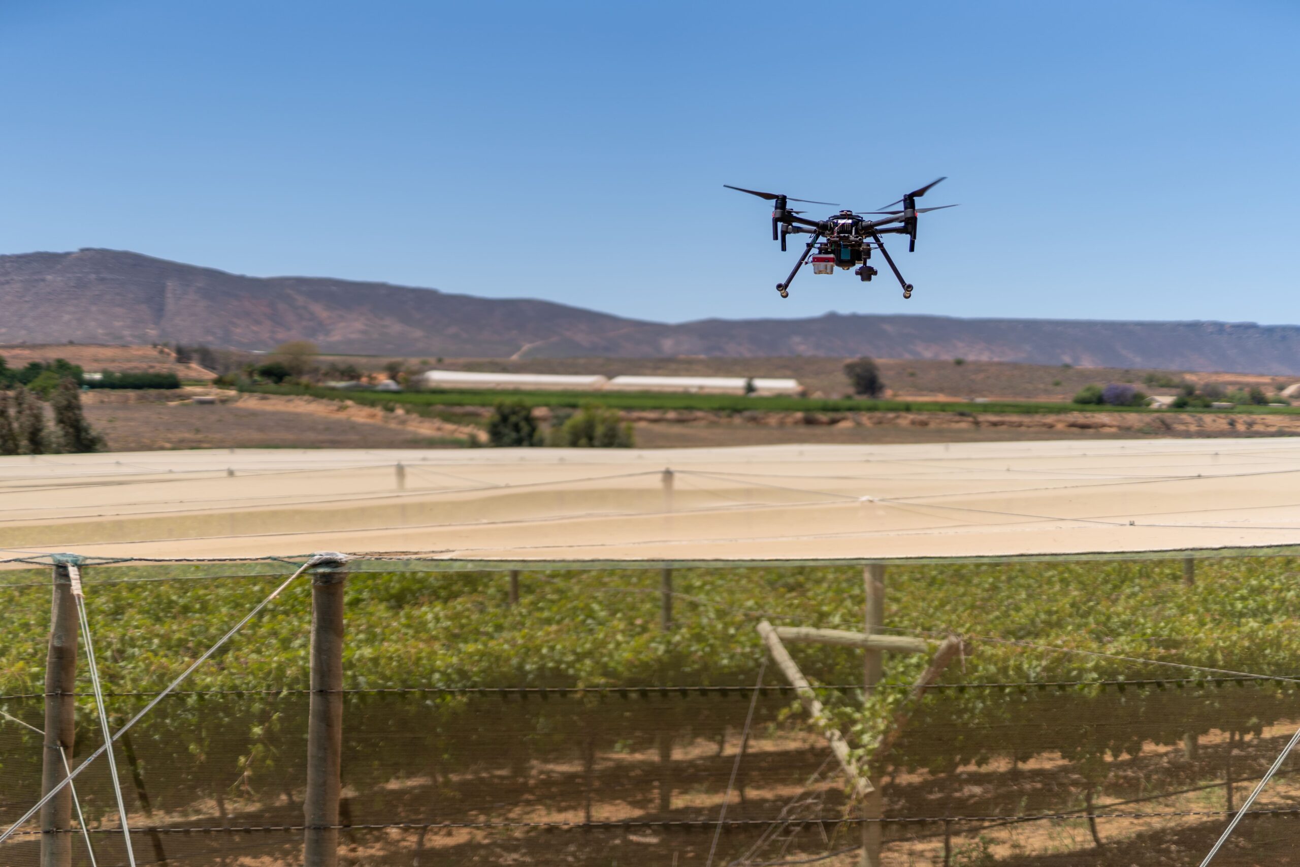
The greatest advantage that farmers who use technology, specifically drones, have over farmers who have not yet embraced technology, is not necessarily the drone itself,” says Ken Treloar, a worldwide expert in the intersection of plant science, farm management and technology.
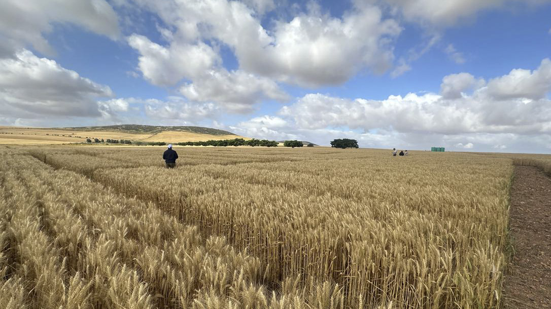
“It’s the ability to see more of the farm, see it sooner, and make decisions using information that would otherwise be difficult, expensive or time-consuming to collect. A farmer standing in a field, orchard or vineyard has an intimate understanding of what is happening at ground level, but that view is naturally limited to the immediate surroundings.” Ken says a drone adds another layer of visibility because it allows the farmer, manager, agronomist or technical specialist to see patterns across an entire block, farm or infrastructure site rather than relying only on individual observations.
“However, technology does not replace driving around and walking the land,” Ken adds. “In many cases, the drone helps the farmer decide where to walk first, or with a high-level overview of the area, he finds himself wanting to inspect. This can be a quick view to validate concerns broadly, or a detailed mapping of the area for later analysis.”
Mapping drones
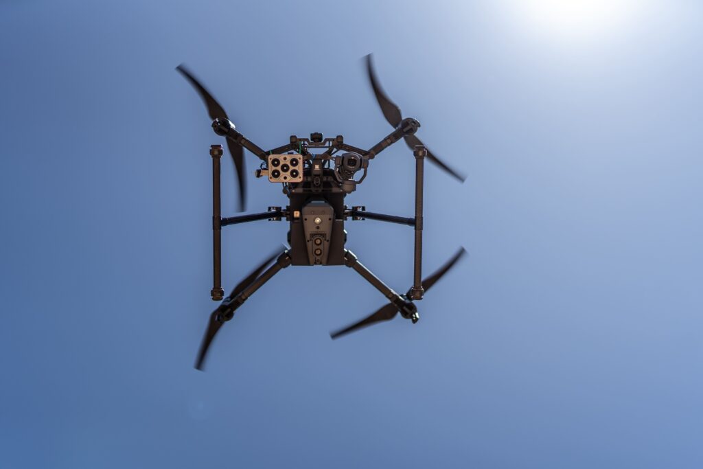
These drones are equipped with RGB, multispectral or thermal sensors and can identify spatial variation that is not always obvious from the road or from ground level. Depending on the crop, season, sensor and software, this can include uneven growth, missing plants, canopy variation, possible water stress, drainage patterns, irrigation problems, extent of storm damage and areas requiring closer inspection. “A drone provides the above-ground signals and patterns while field inspections, soil information, irrigation records, agronomic knowledge and sampling help explain the cause.” The advantage is narrowing the search and focusing limited time, labour and specialist attention where these resources are most likely to add value.
Spraying drones
These drones provide a different advantage. They allow farmers and operators to apply products in places where conventional ground machinery is slow, impractical or unable to operate effectively. This can include steep terrain, wet fields, sensitive soils, tall crops, orchards and areas where tractor movement would cause crop damage or compaction. “A spraying drone can also reduce the need for workers to carry out physically demanding manual applications and limit direct exposure to agricultural remedies. This benefit still depends on correct planning and operation,” he says. “Product registration, label instructions, spray coverage, droplet size, weather, drift management, flight height and operator competence remain essential. Poor spraying does not become good spraying simply because a drone performs the task.”
Farmers who integrate drones effectively can gain advantages through:
• Faster inspections
• Repeatable data collection
• Improved farm recordkeeping
• More focused crop scouting
• Safer access to difficult areas
• More precise input applications
• Earlier identification of unusual patterns
• Better communication between farm teams and advisers
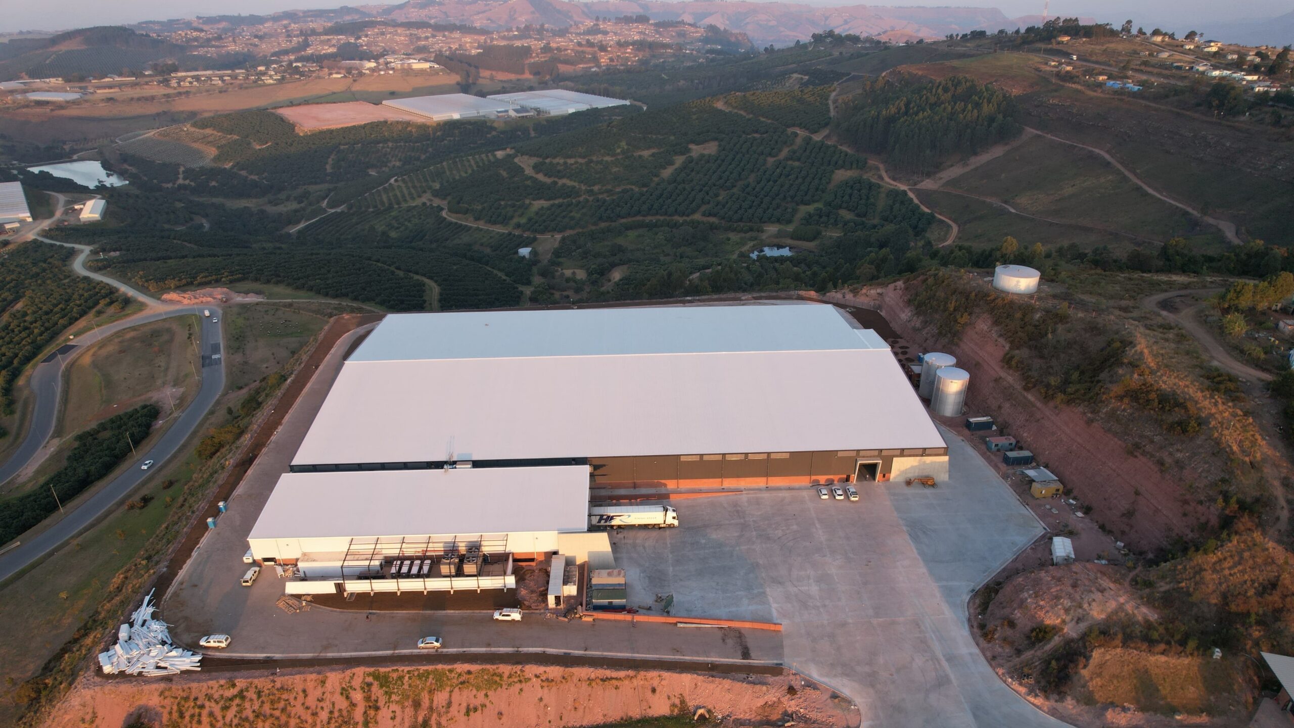
Beyond crop monitoring and spraying, the same technology also has value. Drone-derived orthomosaics provide a current, high-resolution view of farms, roads, dams, roofs, buildings and development sites.
“Three-dimensional models support planning for new agricultural infrastructure, earthworks, drainage, roads, storage areas and other large scale projects,” says Ken. Where more complex terrain, vegetation or structural detail is involved, Light Detection and Ranging (LiDAR) adds accurate elevation and three dimensional point-cloud information. Ahead of a solar photovoltaic (PV) installation, drones assist with roof measurements, roof geometry, possible obstructions, access planning and the creation of a visual record of the site. This information supports the engineering and site-verification process, although it does not replace a proper structural assessment or detailed technical inspection. “Once a solar photovoltaic system is operating, thermal drone inspections help identify unusual temperature patterns across modules and sections of the installation,” Ken explains.
“These patterns direct qualified technicians to-wards areas requiring closer investigation. “Soiling, bird droppings, nesting material, damaged wiring, shading, faulty connections and module defects can all affect the performance and lifespan of a solar asset. “A thermal inspection does not provide the final electrical diagnosis, however, it makes the investigation faster, and efforts are focused and streamlined.” Drones also have a place in farm security. Ken says they can support proactive patrols of fence lines, roads, reservoirs, pump stations, equipment yards and isolated infrastructure.
Reactively, a drone can provide an aerial overview following an alarm, incident or reported disturbance before personnel enter the area. “Farmers who use this technology will gain the ability to identify variation earlier, inspect more efficiently and respond with greater precision. The farmer who knows sooner can act sooner. That is the real advantage.”
“A drone does not replace guards, access control, cameras, communication systems or good security procedures. It extends their visibility and reach.”
Why farmers should embrace technology on their farms
“They should embrace useful technologies because modern agriculture is increasingly a competition for margin, timing, efficiency, risk mitigation and resilience. Input prices continue to place pressure on farming businesses, while weather conditions, water availability, energy supply, labour requirements and market expectations add further complexity,” says Ken.
He adds that water, fertiliser, agricultural remedies, fuel, electricity, machinery hours, labour and time must all be managed carefully. Technology gives farmers additional tools to understand where these resources are being used effectively and where performance is falling short. “This does not mean that every farmer needs to buy every new device or subscribe to every digital platform. Technology for the sake of technology can become an expensive distraction. “A drone that does not address a relevant farming or business need is simply another cost,” Ken says.
He says the starting point should always be the problem, requirement or desired outcome. A farmer should first define what needs to be understood, improved, inspected or applied. “This is important because farmers should not adopt technology through fear of being left behind. They should adopt it because it supports better decisions, improves an existing process, reduces risk or creates measurable operational value.”
He adds that modern drone systems are useful because they bring several technologies together.
• The Unmanned Aerial Vehicle (UAV) carries the sensor or application equipment.
• Positioning systems record where data was collected or where a product was applied.
• Software plans the flight and processes the output.
• Cloud platforms allow information to be stored, compared and shared.
• Artificial intelligence assists with counting plants, identifying objects, selecting representative sampling locations and highlighting unusual patterns, and more.
“The value doesn’t sit in one of these technologies alone. It comes from how the full process supports a real decision on the farm. For example,” Ken says, “a drone survey identifies an area of weaker crop performance. That area is then inspected, sampled and compared with irrigation layouts, soil information, crop history and yield records.
“Once the likely cause has been identified, an intervention is planned. A later survey determines whether the action produced an improvement.”
 Drones help farmers make important decisions quickly and efficiently
Hundreds of decisions influence a farmer’s annual result. Some appear small at the time but become expensive when repeated across several hundred hectares or allowed to continue for weeks or months. “Farmers and managers must constantly decide which areas to monitor, where to sample, which irrigation lines or pivots to inspect, where to apply inputs, which plants or areas of a field require attention and whether a previous intervention has actually worked.
“They must also make decisions about new developments, drainage, access roads, water storage, buildings, electrical infrastructure, energy systems, construction and security,” says Ken. He emphasises that the advantage isn’t the production of heaps of data. “It’s about improving the quality of the decisions made from that data. So, the advantage comes from having another capable tool available when conditions make it the best option, not because a drone is the end-all and be-all new kid on the block.” Ken mentions that drone records also improve communication.
A current orthomosaic, annotated map, thermal image or three-dimensional model can be shared with an agronomist, engineer, contractor, insurer, electrician, farm owner or manager. Everyone can refer to the same visual information rather than rely only on verbal descriptions.
This adds value during:
• Insurance assessments
• Storm-damage inspections
• Construction monitoring
• Irrigation investigations
• Infrastructure maintenance
• Solar project development
• Security planning and incident reviews
• Crop-performance and yield discussions
Ken highlights the fact that PV installations are becoming increasingly important farm assets as agricultural businesses seek more predictable electricity costs and improved energy resilience.
“As the value and scale of these systems increase, so does the importance of inspecting and maintaining them properly.”
The financial benefit of technology must still be measured
Farmers should compare the cost of a drone survey, spraying service or inspection against the value of the decision it supports. Return on investment (ROI) is not always a dramatic yield increase, but it can include:
• Reduced scouting time
• Lower unnecessary input use
• Early identification of crop stress
• Reduction in machinery movement
• Improved construction oversight
• Quicker infrastructure inspections
• Prevention of larger losses or failures
• Better evidence for technical and insurance discussions
• More accurate plant inventories for orchard and vineyard crops
How farmers can embrace the use of drones on their farms
“My first piece of advice would be not to begin by buying a drone. Begin with one relevant farm question. Farmers who are reluctant to adopt technology are often not opposed to improvement. They are wary of spending money on a system that is complicated to use, poorly supported or unable to produce a practical return,” says Ken.
“These are reasonable concerns, particularly when technologies are marketed using complicated terminology, impressive demonstrations and promises that are difficult to measure.” According to Ken, the safest starting point is a small, clearly defined project. “A farmer might select one field, one orchard block, one roof, one dam, one construction site or one recurring security concern.
“The project should have a specific outcome, such as mapping storm damage, identifying missing trees, inspecting irrigation variation, treating a difficult area, assessing a roof ahead of solar installation or checking the performance of an existing solar array.” A qualified service provider (agri drone pilot) can then conduct the work without the farmer having to purchase equipment or become a pilot themselves, Ken advises. Before the drone flies, the farmer and provider should agree on what will be delivered and what decision the output must support.
“A map without interpretation, field verification or an action plan can quickly become another forgotten file on a computer,” he says. Farmers should ask prospective drone providers to explain the following:
• The specific problem the service will address
• The information or deliverables supplied after the flight
• The accuracy and limitations of the resulting information
• The person responsible for processing and interpreting the data
• The actions the farmer or farm team can take from the results
• The way success and return on investment will be measured
• The compatibility of the output with current farm systems and equipment
• The provider’s operating approvals, pilot credentials, insurance and experience
• The additional requirements applying to spraying, surveying or specialised inspections
“Farmers do not all need to become drone pilots. They already use agronomists, crop advisers, surveyors, electricians, engineers, security providers and other specialists,” Ken says. He advises that drone work can be approached in the same way. A competent provider can supply the aircraft, pilot, sensors, processing capability, compliance and technical support.
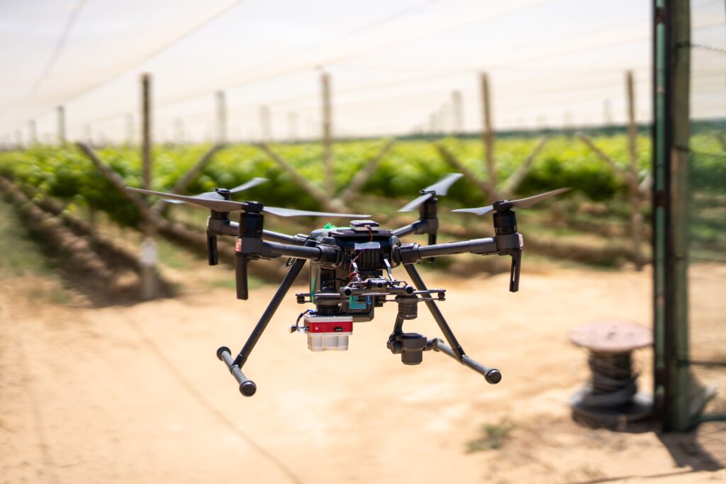
“The farmer remains responsible for defining the agricultural or commercial need and making the final management decision.” Where regular use begins to justify internal capability, selected employees can receive formal training. The farmer can then decide whether bringing part of the process in-house makes financial and operational sense. Farmers should also distinguish between learning to fly a drone and learning to use drone information.
These are not the same skills, emphasises Ken. “A trained pilot might understand aviation, flight planning and aircraft operation but have limited knowledge of crop production. An experienced farmer or agronomist might understand the crop exceptionally well but require assistance with sensor data and mapping outputs. The best results usually come from combining these areas of expertise.”
Farmers can learn more through:
• Agricultural associations
• Practical demonstration days
• Grower and producer study groups
• Reputable drone service providers
• Approved aviation training organisations
• Agronomists and specialist crop advisers
• Agricultural publications and case studies
• Universities, colleges and technical institutions
• Industry conferences, field days and webinars
• Pilot projects using the farmer’s own fields or infrastructure
Ken says the most useful learning takes place when the farmer looks at their own data and relates it to something visible on the ground. “A general presentation can explain what technology is capable of doing, but a well-designed pilot project shows whether it works in a particular farming operation.” Farmers should also ensure that the provider operates within South Africa’s aviation and agricultural requirements.
Business, agricultural and commercial drone operations shouldn’t be treated as casual recreational flying. Spraying operations introduce further requirements because they involve both aviation compliance and the regulated application of agricultural remedies. “The farmer doesn’t need to understand every legal and technical detail personally, but should verify that the provider is properly qualified, approved, insured and authorised to perform the work being offered.”
In summary, a practical adoption process would be to start small, verify the output in the field, measure the value and expand only where the technology proves itself. “Farmers should not feel pressured to digitise the entire operation at once. They don’t need to embrace every available technology. They need to remain open to the technologies that help them see sooner, work safely, reduce waste and make better decisions,” says Ken.